Posts

Showing posts with the label survey

Raft foundation

RAFT FOUNDATION IS A  thick concrete slab resting on a large area of soil/surface reinforced with steel, supporting column or wall and transfer its  loads from the structure to  soil. it is generally used to support structures like residential or commercial buildings, hostel/schools  where soil condition is poor, storage tanks, silos, foundations for heavy industrial equipment etc. it is very important type of foundation in modern ways of construction.

what is Prismatic compass ?

Image
Compass surveying is a branch of surveying in which directions of surveying lines are determined with a compass and the length of lines are measured with a tape or chain. In practice the compass is  generally used to run a traverse. In surveying, "Traverse" consists of a series of straight lines connected together to form a open or a closed polygon. Methods of traversing: Depending on the type of instrument used for the measurement of angles the method of Traversing can be classified as under; 1.Chain Traverse 2.Compass Traverse. 3.Plane Table Traverse. 4.Stadia Traverse. 5.Theodolite Traverse. IN Compass Traverse the direction of the traverse lines are determined with a magnetic compass. The magnetic Compass may be "SURVEYOR COMPASS" OR "PRISMATIC COMPASS" PRISMATIC COMPASS: The prismatic compass is one of the magnetic compass in which there is a prism for taking observations. The prismatic compass is generally smaller in size than a surveyor  compass. T...

dumpy level........

Image
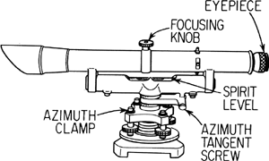
A surveyor instrument having a short telescope fixed rigidtly to a horizontal rotating table.

work of a surveyor.............

work of  a surveyor consists of following three sections........ 1.field work. 2.office-work. 3.care and adjustment of instruments. 1.field-work:- this includes taking measurements for details, recording field-notes and setting of work. 2.office work:-it consists of preparing maps,plans and sections from the  data collected  in the field and also calculating areas and volumes and designing various structures. 3.care and adjustment of instrument:- a surveyor must be thoroughly  familiar with the instrument.He must knows the appropriate method of using instrument because even a minor injury to instrument is liable to make them out of order.

Basic principle of surveying........

The  following two basic principles should be considered while determining relative position of points on the surface of earth:- 1. determining suitable method for locating a point:- it is  always practicable to select two points in the field to measure the distance between them. These can be represented on paper by two points placed in a convenient positions. 2.working from whole to the part:- in surveying an area, it is essential to establish first of all a system of control points with great precision. Minor control points can then be established by less precise method and the details can be located  afterwards by method of triangulation or traversing between control points.  Know the basic and you will never need to know again and again.

levelling................

IT  is a branch of survey which helps in determination of elevation of a given point or object with espect to some specified point or object. . Common levelling instruments include the spirit level , the dumpy level , the digital level, and the laser level. The dumpy level is an older style of optical instrument. It is commonly believed that dumpy levelling is less accurate than other types of levelling, but such is not the case. Dumpy levelling requires shorter and therefore more numerous sights,   but this fault is compensated by the practice of making foresights and backsights equal.

types of survey

there are two main types of survey. 1.plane survey. 2.Geodetic survey. Plane survey:-I n plane survey the surface of earth assume as plane or straight its uses as limited distance. Geodetic survey:- in geodetic survey surface of earth assume as curve its use in long distance.

survey.........

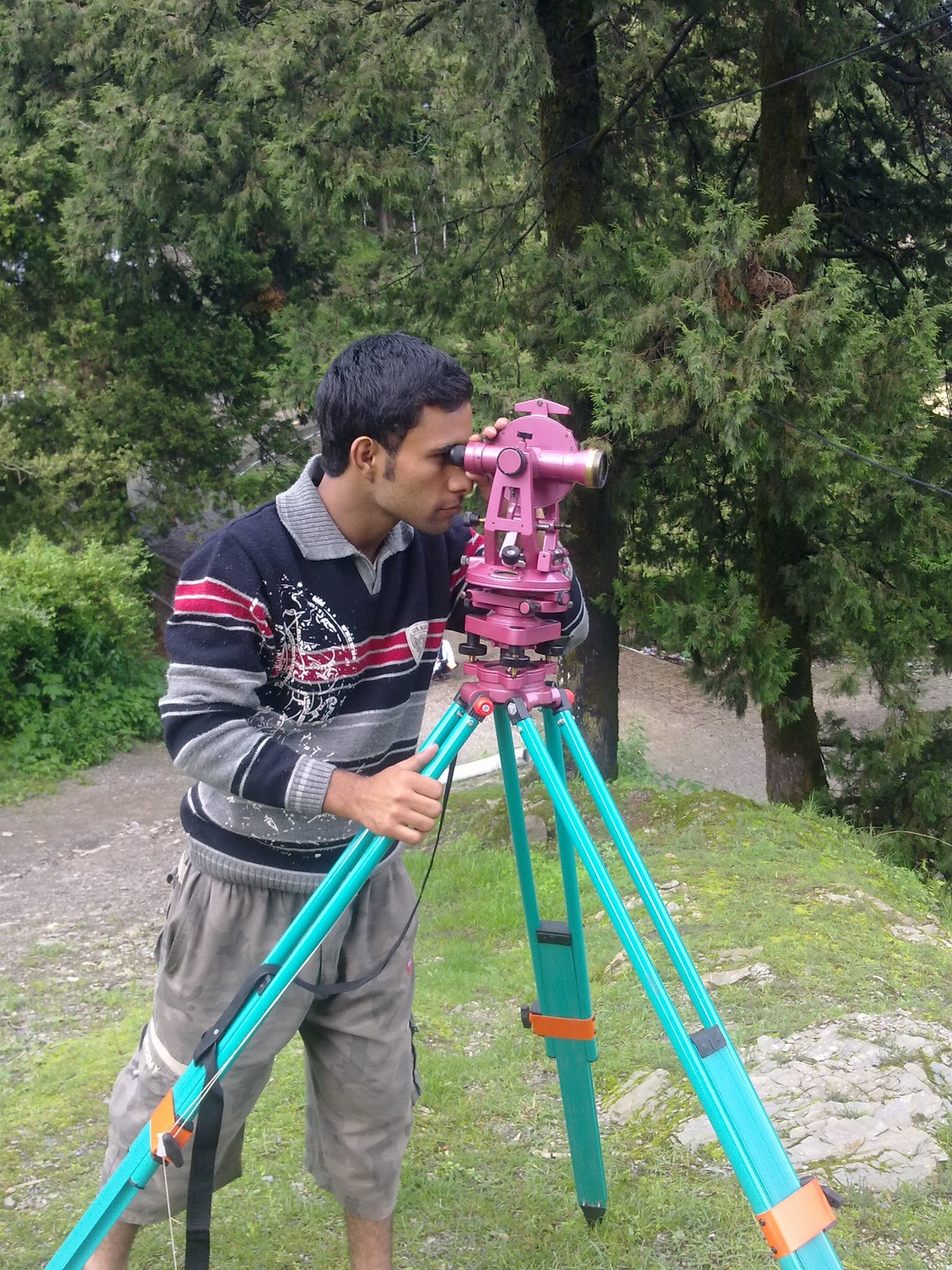
Image
surveying  is the art of determining the relative positions of objects on the surface of earth. Surveying  or land surveying is the technique, profession and science of accurately determining the terrestrial or three-dimensional position of points and the distances and angles between them. Surveying has been an essential element in the development of the human environment since the beginning of recorded history (about 5,000 years ago). It is required in the planning and execution of nearly every form of construction..