Posts

Showing posts with the label chainsurvey

Earthwork in cutting for construction of Road. Earth excavation machines are used to cut the earth and level them or fill pits with earth material.

Image
 

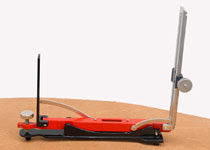
ndian pattern tangent clinometer

Image
Indian pattern tangent clinometer  is used for determining differnce in elevation between two points and is specially adopted to a plane tabling. The clinometer is placed on table which is levelled by estimation. Clinometer consists of following parts: 1.A base plate 2.The eye vane 3.The object vane

what is chain survey.......

Image
Chain survey is the simplest method of surveying. In this survey only measurements are taken in the field, and the rest work, such as plotting calculation etc. are done in the office. This is most suitable adapted to small plane areas with very few details. If carefully done, it gives quite accurate results. The necessary requirements for field work are chain, tape, ranging rod, arrows and some time cross staff. Survey Station: Survey stations are of two kinds Main Stations Subsidiary or tie Main Stations: Main stations are the end of the lines, which command the boundaries of the survey, and the lines joining the main stations re called the main survey line or the chain lines. Subsidiary or the tie stations: Subsidiary or the tie stations are the point selected on the main survey lines, where it is necessary to locate the interior detail such as fences, hedges, building etc. Tie or subsidiary lines: A tie line joints two fixed points on the main survey lines. It helps to checking the ...

work of a surveyor.............

work of  a surveyor consists of following three sections........ 1.field work. 2.office-work. 3.care and adjustment of instruments. 1.field-work:- this includes taking measurements for details, recording field-notes and setting of work. 2.office work:-it consists of preparing maps,plans and sections from the  data collected  in the field and also calculating areas and volumes and designing various structures. 3.care and adjustment of instrument:- a surveyor must be thoroughly  familiar with the instrument.He must knows the appropriate method of using instrument because even a minor injury to instrument is liable to make them out of order.

History of surveying..............

Surveying techniques have existed throughout much of recorded history. Under the Romans, land surveyors were established as a profession, and they established the basic measurements under which the Roman Empire was divided,  such as a tax register of conquered lands (300 AD). In the 18th century in Europe triangulation was used to build a hierarchy of networks to allow point positioning within a country. Highest in the hierarchy were triangulation networks. These were densified into networks of traverses  (polygons), into which local mapping surveying measurements, usually with measuring tape, corner prism and the familiar red and white poles, are tied.

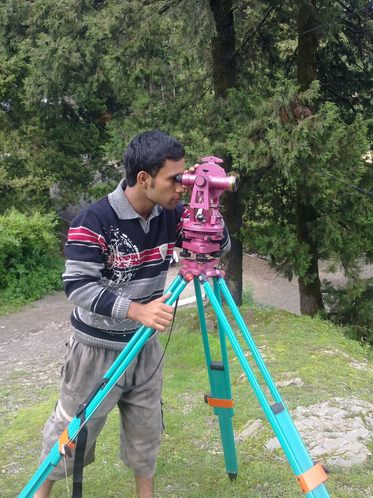
survey.........

Image
surveying  is the art of determining the relative positions of objects on the surface of earth. Surveying  or land surveying is the technique, profession and science of accurately determining the terrestrial or three-dimensional position of points and the distances and angles between them. Surveying has been an essential element in the development of the human environment since the beginning of recorded history (about 5,000 years ago). It is required in the planning and execution of nearly every form of construction..